Slocan Graphite Project
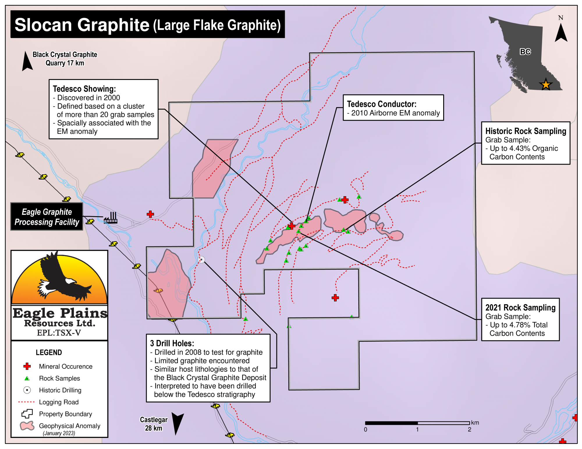
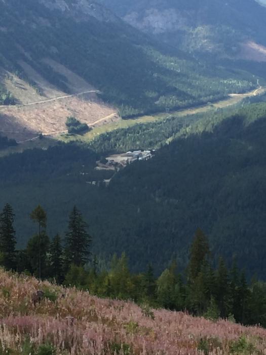
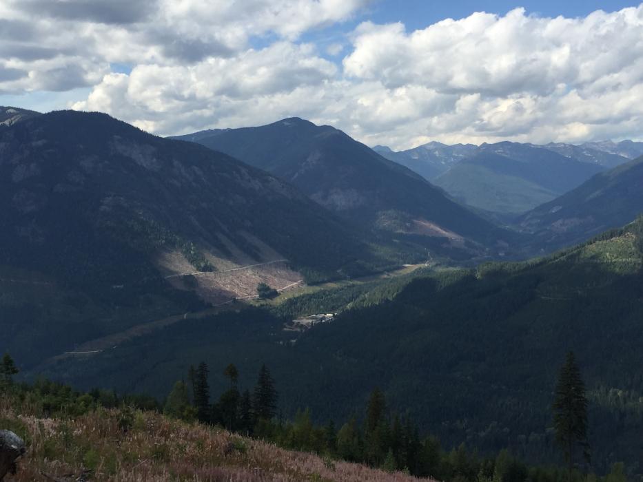
The 2868ha Slocan Graphite Property is located approximately 28km north of Castlegar in the southern Selkirk Mountains. It hosts several large flake graphite-bearing outcrops and float occurrences known as the Tedesco Zone interpreted to extend over 2 km. It boasts excellent infrastructure being situated 3km east of a power transmission line and 3.5km east of a graphite processing facility. Access to the property is by all-weather road while the project area is easily accessible with logging roads throughout.
-
- British Columbia
-
- Available for option: Yes
-
- Graphite - Large Flakes
Project Highlights
- Host to the untested Tedesco Graphite Showing
- Excellent geology highly prospective for large flake graphite mineralization
- Prospective untested large conductive anomaly outcropping at the Tedesco Showing
- Numerous grab samples near the conductive anomaly returned significant organic carbon contents
- Excellent Infrastructure including nearby graphite processing facility, hydro power and logging road access
Summary
The 2868ha Slocan Graphite Property is located approximately 28km north of Castlegar in the southern Selkirk Mountains. It hosts several large flake graphite-bearing outcrops and float occurrences known as the Tedesco Zone interpreted to extend over 2 km. It boasts excellent infrastructure being situated 3km east of a power transmission line and 3.5km east of a graphite processing facility. Access to the property is by all-weather road while the project area is easily accessible with logging roads throughout.
Project Highlights
- Host to the untested Tedesco Graphite Showing
- Excellent geology highly prospective for large flake graphite mineralization
- Prospective untested large conductive anomaly outcropping at the Tedesco Showing
- Numerous grab samples near the conductive anomaly returned significant organic carbon contents
- Excellent Infrastructure including nearby graphite processing facility, hydro power and logging road access
Geology
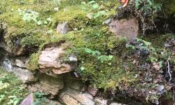
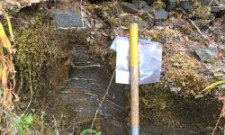
Graphite mineralization is hosted primarily in carbonate and calc-silicate lithologies within the Passmore Dome of the Valhalla Metamorphic Complex, a geologic setting consistent with a crystalline flake graphite deposit model. Previous operators have estimated the mineralized horizon to be up to 50m thick, however cite that it is difficult to determine due to a lack of surface exposure. The horizon has never been tested by diamond drilling.
Exploration History
Several government mapping programs took place between 1960 and 1998 defining the major sub-units of the Valhalla Gneiss Complex. In 2000, industry efforts discovered the Tedesco occurrence and subsequent prospecting, geophysics and drilling identified the area as having similar host lithologies to that of the nearby Black Crystal Graphite Deposit. In 2010 an airborne EM survey over the Tedesco showing revealing a significant conductor anomaly above the zone of previous drilling and is associated with a cluster of strongly anomalous surface samples. Further review suggests that the high conductivity EM zones provide attractive and untested drill targets.
Mineralization
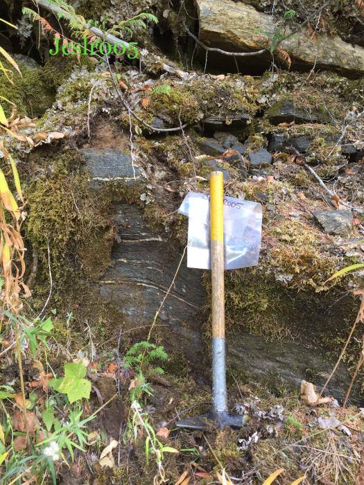
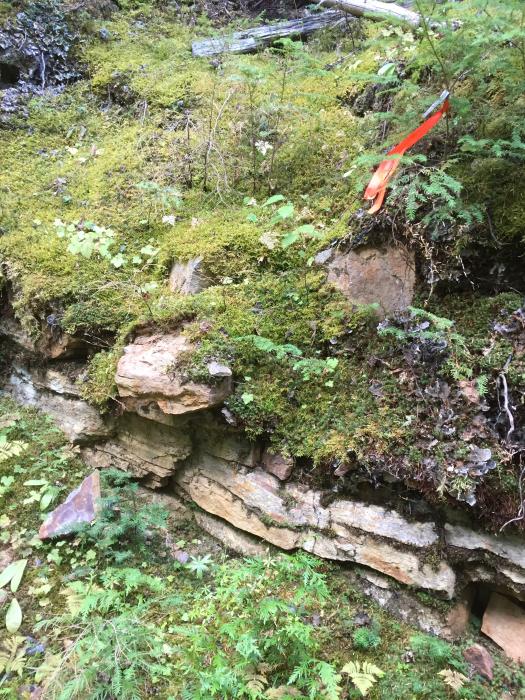
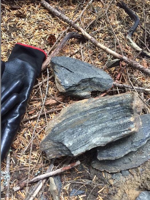
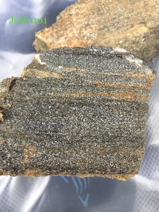
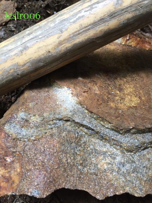
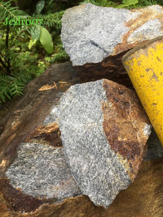
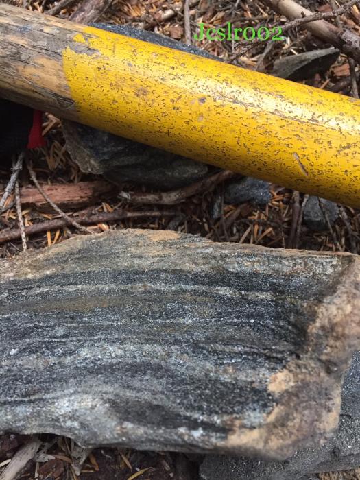
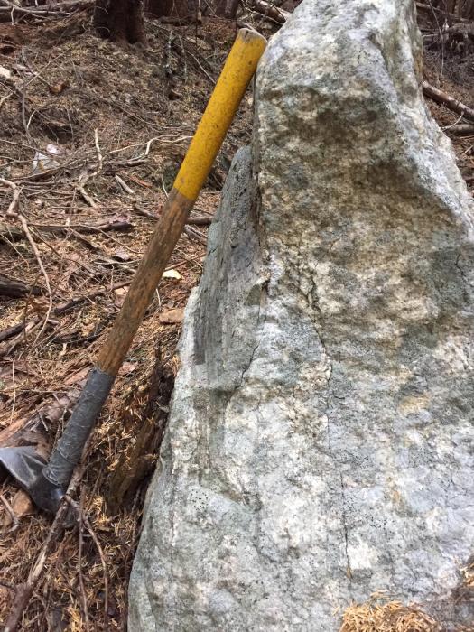
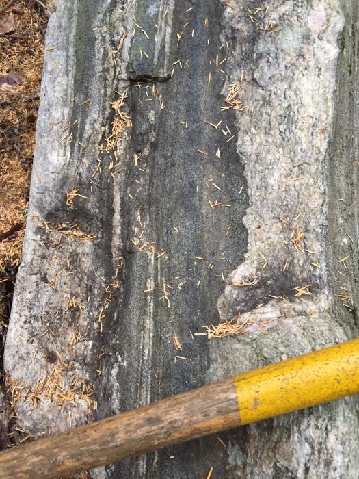
The property comprises the majority of the known graphite mineralization that defines the Tedesco Graphite Showing which is based on a cluster of more than 20 graphitic bearing grab samples and spatially associated with a 3 km x 1 km strongly conductive airborne EM anomaly. Grab samples from two separate programs returned total organic carbon contents up to 4.43 % and 3.36%. Widespread distribution of graphitic bearing rocks was noted.
Future Work
The property comprises the majority of the known graphite mineralization that defines the Tedesco Graphite Showing which is based on a cluster of more than 20 graphitic bearing grab samples and spatially associated with a 3 km x 1 km strongly conductive airborne EM anomaly. Grab samples from two separate programs returned total organic carbon contents up to 4.43 % and 3.36%. Widespread distribution of graphitic bearing rocks was noted.
Eagle Plains - A Project Generator
Eagle Plains, a project-generator company, makes projects available for option to joint-venture partners. While the Slocan Graphite Project is not a property of merit, it is currently available for option to joint-venture partners. Companies interested in co-operatively exploring any of these projects please contact: Tim Termuende at tjt@eagleplains.com or Mike Labach at mgl@eagleplains.com or call 1 866 Hunt Ore (486 8673)
The Slocan Graphite Project is currently available for option.
Details
The 2868 ha Slocan Graphite Property is located in the Valhalla Range of the southern Selkirk Mountains, approximately 28km north of the city of Castlegar and 30 km west of the city of Nelson, in southeast British Columbia. The property comprises the majority of the known graphite mineralization that defines the Tedesco Graphite Showing which is based on a cluster of more than 20 graphitic bearing grab samples, spatially associated with a 3km x 1 km strongly conductive geophysical anomaly. The Tedesco showing and associated anomaly has never been drill tested.
The project is logistically favorable with access via logging roads to most of the property and located within 2 km of the Eagle Graphite processing facility which processes feed from the nearby Black Crystal graphite quarry. The project is 100% owned by Eagle Plains with a 2% NSR held by Eagle Royalties containing a 1% buy-down clause.
Project Highlights
- Host to the untested Tedesco Graphite Showing
- Excellent geology highly prospective for large flake graphite mineralization
- Prospective untested large conductive anomaly outcropping at the Tedesco Showing
- Numerous grab samples near the conductive anomaly returned significant organic carbon contents
- Excellent Infrastructure including nearby graphite processing facility, hydro power and logging road access
Geology
The Slocan property lies within the southern portion of the approximately 100 km long Valhalla-Passmore Gneiss Complex, which can be characterized as a structural culmination composed of a high grade metamorphic core with outward-dipping metamorphic layering and foliation, bordered by ductile/brittle shear zones or faults. Recent work has shown that the most extensive granitic rocks in the Valhalla complex are no older than Late Cretaceous, penetrative deformation and metamorphism is as young as Late Cretaceous – Paleocene, and arched sheets of predominantly metasedimentary rocks, granitic rocks, and intervening thrust faults were exhumed in the Eocene on the ductile–brittle Valkyr – Slocan Lake extensional fault system which bounds the complex. Metamorphic rocks of the Valhalla assemblage comprise a heterogeneous sequence of biotitic schist (pelitic schist) and quartzofeldspathic gneiss (psammitic gneiss), amphibolite gneiss and minor marble, calc-silicate gneiss, quartzite, metaconglomerate and ultramafic rocks.
Exploration History
Several government mapping programs took place between 1960 and 1998 ultimately defining the major sub-units of the Valhalla Gneiss Complex. In 2000, a large flake graphite occurrence (Tedesco) was discovered by a joint venture partnership between Hampton Court Resources and Anglo Swiss Resources while assessing the area for Sapphire and Iolite gemstone potential. In 2008, an IP geophysical survey located low in the valley, just west of the current property boundary, near the Slocan River was followed with a 3 hole drill program. Limited graphite intercepts were encountered but the most significant conclusion of the program was the recognition of similar host lithologies in relation to those of the Black Crystal graphite deposit. In 2010, an airborne EM survey was completed over the Tedesco showing revealing a significant conductor anomaly above the zone of drilling, this conductor is associated with a cluster of strongly anomalous surface samples. Further analysis and literature review in 2012 resulted in the suggestion that the graphitic bearing horizon (of unknown thickness) is dipping shallowly into the ridge to the southeast, such that the northern limit of the cluster of grab samples marks the exposed expression of the mineralized horizon and coincident with the north limit of the airborne conductor. To the south and east over the strongest portions of the conductor anomaly, grabs are anomalous but not as high in C% as those at the northern limit. It is hypothesized that the area of the strongest EM anomaly is probably capped by low carbon strata and that the high conductivity EM zones provide attractive and untested drill targets.
Mineralization
The 2017 Slocan Graphite Property tenure comprises the majority of the known graphite mineralization that defines the Tedesco Graphite Showing. The showing is defined based on a cluster of more than 20 graphitic bearing grab samples, spatially associated with an arcuate 3km x 1km strongly conductive airborne EM anomaly. Grab samples by the previous operator returned total organic carbon contents up to 4.43 % C. Verification sampling by Terralogic personnel in 2017 returned up to 3.36% total carbon, while witnessing a widespread distribution of graphitic bearing rocks.
Eagle Plains Exploration 2017
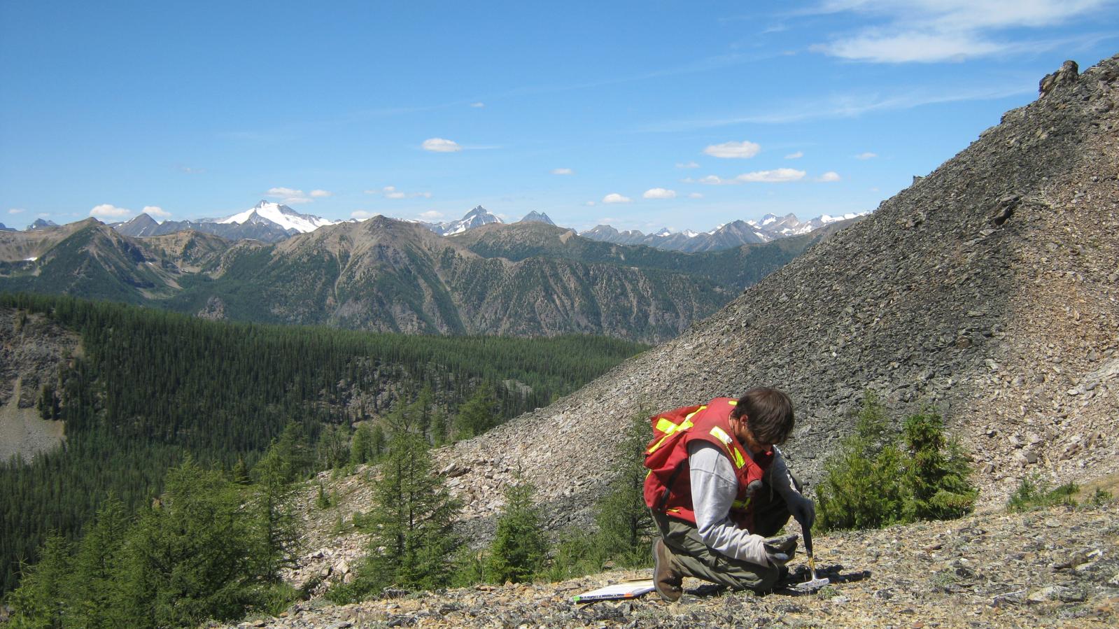
In mid-September, the claims were visited to determine logistical access and to prospect the main roads with the primary goal being to assess the grab samples anomalous in graphite and to traverse through the high conductivity zones that were identified by the airborne EM survey.
Future Work
Additional assessment of the graphite potential has been strongly recommended, specifically:
- Acquisition and compilation of the raw geophysical data on the property. Additional interpretation to outline the size and depth of the graphitic horizon may be possible, especially towards the southeast where the known horizon is interpreted to deepen.
- Property wide prospecting and geological mapping as to date there has been no property-scale geological mapping. The general deposit model for this commodity type is that graphite mineralization can be preferentially hosted in specific strata-bound lithologies and may also be remobilized and concentrated along contacts or into secondary structures.
- Trenching to be completed along the northern exposure interface of the mineralized horizon to further assess its grade potential and thickness.
- A number of secondary overgrown forestry roads towards the east and south to be reopened.
- Large representative samples of the graphitic material to be collected for detailed graphitic carbon size and quality assessment.
- Diamond drilling of tentative attractive road-based sub-vertical drilling targets that already exist in the heart of the EM conductor anomaly. Logically however, it would be advisable to determine a go/no go drilling decision and refinement of pad locations based on the results of the above recommendations.
Eagle Plains - A Project Generator
Eagle Plains Resources is a project generator with several mineral exploration properties of merit that meet qualifying transaction requirements. We facilitate the listing process for capital pool companies and initial public offerings while providing technical expertise for exploration programs. Companies interested in co-operatively exploring any of our projects please contact: Chuck Downie at ccd@eagleplains.com or Mike Labach at mgl@eagleplains.com or call 1 866 Hunt Ore (486 8673).
The Slocan Graphite Project is currently available for option.
Updated April 30, 2024
