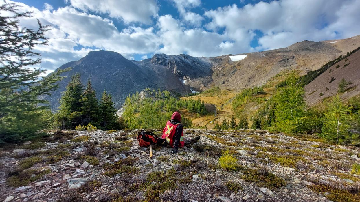
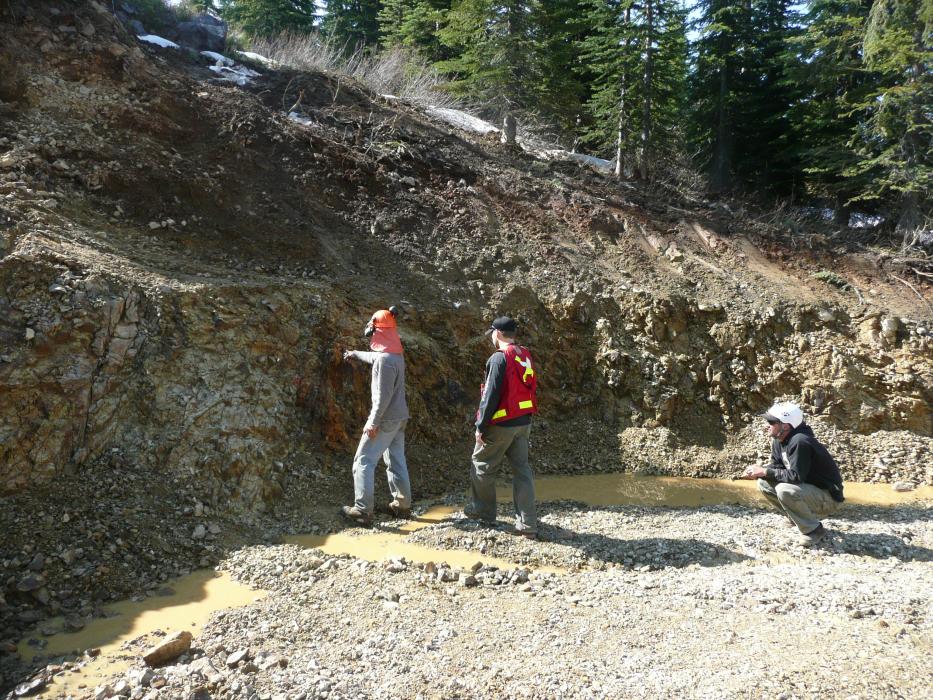
The Acacia Property is located on the Adams Plateau area of British Columbia, approximately 60 km NE of Kamloops and 22 km east of the town of Barriere. The 4385 ha property was staked by Eagle Plains in 1999 covering a fertile stratigraphic package that hosts a number of base- and precious-metal deposits. The project is 100% owned by Eagle Plains with a 2% NSR held by Eagle Royalties containing a 1% buy-back clause. Access is by a network of all-weather logging and historical roads.
The Black Diamond Property is located in the Purcell Mountains 35 km west-southwest of the community of Invermere, B.C., 5 km east of the historical Mineral King Mine.
The 1658 ha Davies Property is located approximately 146 km northwest of Mackenzie and 60 km north-northwest of the community of Manson Creek, along the south side of the Osilinka River valley. The property is prospecive for Mississippi Valley Type ("MVT") critical-metal deposition and is accessible via a network of mainline logging roads from either Mackenzie or Fort St. James BC. while secondary FSR’s provide access to the mineral showings themselves.
The claims are 100% owned by Eagle Plains with no underlying royalties or encumbrances.
The 11,287 ha Findlay Property is located approximately 30 km north of the city of Kimberley in south-east B.C. The claims were staked in anticipation of an airborne geophysical survey conducted in the fall of 1995 by the Geological Survey of Canada (GSC), and the British Columbia Geological Survey (BCGS).
The 578 ha Mount Haskins Property hosts three mineral deposits, the A Zone, a 43-101 compliant inferred resource and the Joem and Fort Reliance historical deposits (non-43-101 compliant) within the property boundary.
Located 90km southwest of Watson Lake, YT and 105km northeast of Dease Lake, BC. the Haskins Property is road accessible via the Old Della Mines Road which branches from Hwy 37 12km north of the Cassiar junction.
The claims are 100% owned by Eagle Plains with a 2% NSR held by Eagle Royalties containing a 1% buy-back clause.
The Ice River Property is situated 45 km east of Golden, B.C. and is currently accessed by helicopter. Forest Service roads reach to within 5 km of the property boundary. The 2310 ha property was staked in 2003 and is owned 100% by Eagle Plains Resources with a 2% NSR held by Eagle Royalties containing a 1% buy-back clause.
The Iron Range Property is located in SE British Columbia 1 km NE of the town of Creston. This 21,437 ha property overlies the same Lower/Middle Aldridge Formation stratigraphy that hosts the world-class Sullivan sedimentary-exhalative (“SEDEX”) deposit which contained 160 million tons grading 12% Pb/Zn and 67 g/t Ag. Located in Kimberley, the Sullivan had a mineable lifetime of 92 years and contained metal value in present dollars exceeding $35 billion.
The 4,087 ha K9 Property is located 37 km west of Kimberley, in SE British Columbia. Staked in 1996 as a result of in-house research, the claims contain highly prospective targets for polymetallic veining and sulphide replacement zones based on the favorable geologic and structural setting as well as SEDEX style mineralization.. Supporting this is the presence of high-grade mineralization in historical as well as recent rock sampling and broad multi-element geochemical anoma
Pagination
- Page 1
- Next page


